


Browse and search a portion of the collections of the Tides Institute & Museum of Art available online (now consisting of over 8,000 online records in process of completion). The Online Collections are best viewed using Google Chrome or Mozilla Firefox. Search Hints: To search by phrase or multiple word names wrap your criteria in quotes. Example: “Martin Johnson Heade” or “Grand Manan”. For an overview of the collections, see: Collections Overview.
Maps
A collection of maps mostly related to the region, but also including other maps of interest.
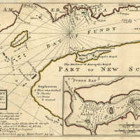
A Description of the Bay of Fundy | Herman Moll and Nathaniel Blockmore
Artist: Herman Moll and Nathaniel Blockmore Classification: Maps Circa: 1745 Old Accession Number: 916 Description: MOLL, Herman (1654-1732); & Nathaniel BLACKMORE A Description of the Bay of Fundy shewing ye coast, islands, harbours, creeks, coves, rocks & sholes, soundings & anchorings &c. Observed by Nat. Blackmore in ye year 1711 and 1712. by Her Majesties Special Command London: Printed and sold by Tho: Bowles next the Chapter House in St. Pauls Church Yard & Ino. Bowles at ye Black Horse in Cornhill, [circa 1745]. Copper-engraved map, period hand colouring in outline. Inset of "The Harbour of Annapolis Royal by Nathaniel Blackmore Esqr". Sheet size: 9 3/8 x 19 1/8 inches. An attractive map of the Bay of Fundy by one of the greatest cartographers of the eighteenth-century.
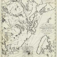
A Map & Chart of the Bays Harbours Poft Roads and Settlements in Passamaquoddy & Machias With the large Island of Grand Manan | B.R. Jones
Artist: B.R. Jones Classification: Maps Old Accession Number: 1499
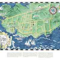
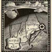
A Map Showing the Location of the Eastport Summer School of Art, Eastport, Maine | Kathleen Voute Redrawn by Kirsten Sparenborg | 2024
Map © 2024 by Kirsten Sparenborg. The Tides Institute & Museum of Art commissioned Kirsten Sparenborg to produce the map that involved line drawing and watercolor painting by hand. The map was developed in 2023-2024. It is a reduced size recreation of an original large decorative map first produced in Eastport, Maine by illustrator Kathleen Voute in the summer of 1929. She was a student at the Eastport Summer School of Art at the time. The only references to the original map are a very small black and white reproduction of the map that appeared in a 1931 Eastport Summer School of Art program booklet and a brief description of the map in the Eastport Sentinel newspaper of August 21, 1929. The wording on the recreated map represents a best attempt to decipher the wording on the small reproduction of the original map. The watercoloring is based on the use of color in other known existing maps by Kathleen Voute. The original map was four feet tall and seven feet long. After it was displayed in Eastport in August 1929, it was to be taken to New York City for exhibition at the Grand Central Art Galleries over the winter. The map was to be returned to Eastport the following spring for permanent display. No one knows whether the original map ever returned to Eastport or what has happened to it. Dimensions: 24" w x 15 7/8" h (unframed)
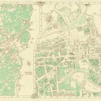
A New & Accurate Map of Portsmouth, New Hampshire
Circa: 1980 Old Accession Number: 1345 Description: Published by Portsmouth Publishing Company, 1980.
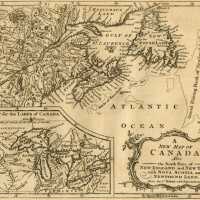
A New Map of Canada, Also the North Parts of New England and New York; with Nova Scotia and Newfound Land
Classification: Maps Circa: 1766 Old Accession Number: 918
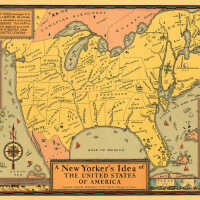
A New Yorker’s Idea of the United States of America | Daniel K. Wallingford
Artist: Daniel K. Wallingford Medium: Map Classification: Maps Old Accession Number: 332 Description: Copyright, Daniel K. Wallingford, 64 W. Ohio St., Chicago 10, Illinois. 1936.
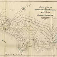
A Plan Of a Portion of Campobello, New Brunswick Showing Welshpool and Adjacent Cottage Lots
Medium: Engraving Old Accession Number: 246 Description: Map.
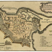
A Plan of the City & Fortifications of Louisburg
Medium: Engraving Classification: Maps Old Accession Number: 381
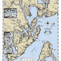
Artsipelago Map 2022 with Passamaquoddy and English Place Names
Artsipelago Map 2022. with Passamaquoddy and English Place Names
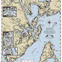
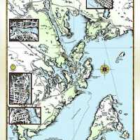
Artsipelago: Arts & Culture of the Passamaquoddy Region (2012) | Alexandra Flood / Fall Design
Artist: Alexandra Flood / Fall Design Classification: Maps Circa: 2012 Old Accession Number: 933
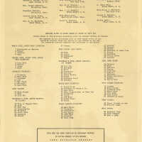
Back of Grand Manan Map by Charles Buchanan
Old Accession Number: 2182 Grand Manan, New Brunswick.
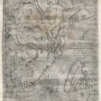
Benjamin R. Jones (1776-1859) | A map & chart of the bays harbours post roads and settlements in Passamaquoddy & Machias with the large island of Grand Manan
An early 19th century map of the Passamaquoddy Bay and Machias region by Benjamin R. Jones, surveyor. The full title of the map is: “A Map & Chart of the Bays Harbours Poft Roads and Settlements in Passamaquoddy & Machias With the large Island of Grand Manan. Compiled from Actual Survey by B.R. Jones, Surveyor.” The map was first published in 1810 with additions to the plate made in 1822 soon after Maine became a state. The engraving of the map was produced by T. Wightman of Boston, Massachusetts. Benjamin Jones was born in Milton, Massachusetts in 1776. His family moved to what is now Robbinston, Maine in 1788. As a young man with a wife and children, Jones moved to Eastport, Maine in 1803 to serve as town clerk, and then two years later, to Dennysville where he took a job teaching school. He began to work as a surveyor as well. Jones died in 1859. His map of Passamaquoddy and Machias is 20 1/2 inches (51 cm) high by slightly more than 16 inches (41 cm) wide. The map had been in the collections of Barracks Museum of the Border Historical Society of Eastport, Maine, but the Society voted to transfer its Museum collections to the Tides Institute in 2020 and the map is now in the institute’s collections. The institute also owns an original survey map by Jones of the south division of Trescott, Maine that Jones surveyed between 1806 and 1834. Artist: Benjamin R. Jones Medium: Engravings Classification: Maps Circa: 1822 Old Accession Number: 3025 Description: A rare original copy of "A map & chart of the bays harbours post roads and settlements in Passamaquoddy & Machias with the large island of Grand Manan” in our collections by map surveyor, Benjamin R. Jones. The engraved map was originally published in Boston in 1810 with plate editions on this copy of the map dating to 1822.
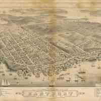
Bird's Eye View of Eastport, Washington Co. Maine, 1879 | Pub. by J.J. Stoner, Madison, Wis.
Artist: Pub. by J.J. Stoner, Madison, Wis. Medium: Lithograph Classification: Maps Circa: 1879 Old Accession Number: 1366
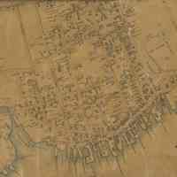
Detail #1 of Map of the Town of Eastport, Maine | E. M. Woodford, Philadelphia, 1855
Detail from Map of the Town of Eastport Washington Co. Maine, From Actual Survey by D.S. Osborn, Civil Engineer; Published by E.M. Woodford, N.E. Cor. 4th & Chestnut Streets, Philadelphia, 1855. Printed by Wagner & McGuigan.
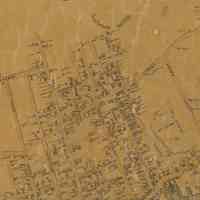
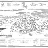
Eastport Birds Eye View & Parish Map | Kirsten Sparenborg
Artist: Kirsten Sparenborg Medium: Drawing Classification: Maps Circa: 2017 Old Accession Number: 2307
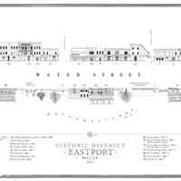
Eastport Downtown Historic District Streetscape Map | Kirsten Sparenborg
Artist: Kirsten Sparenborg Medium: Digital Classification: Prints Circa: 2011 Old Accession Number: 930
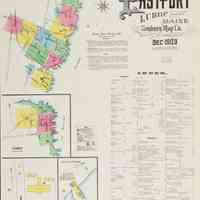
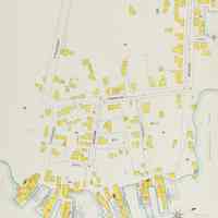
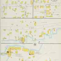
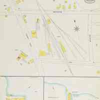
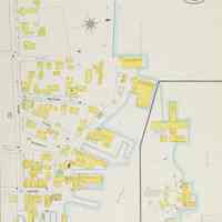
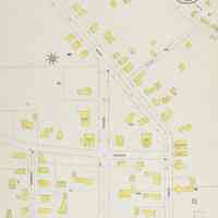
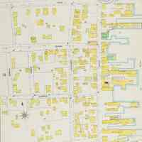
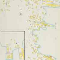
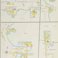
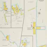
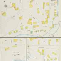
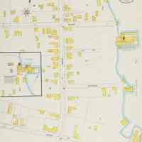
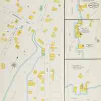
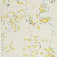
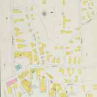
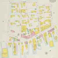
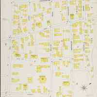
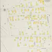
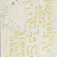
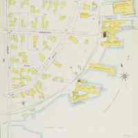
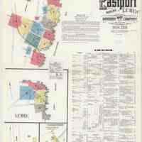
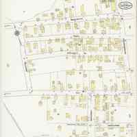
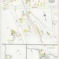
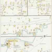
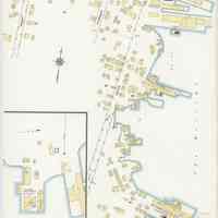
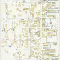
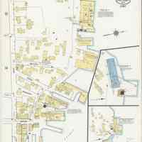
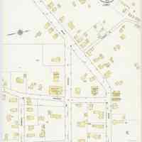
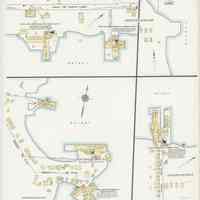
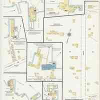
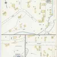
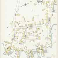
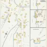
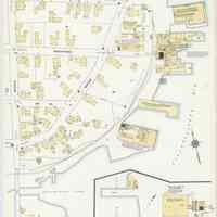
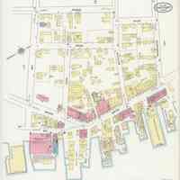
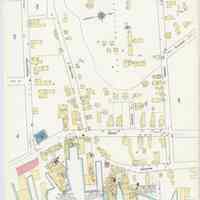
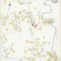
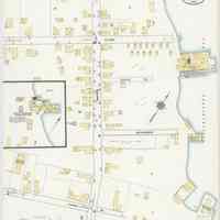
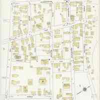
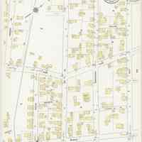
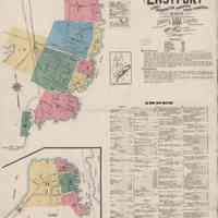
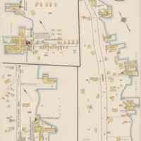
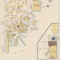
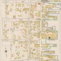
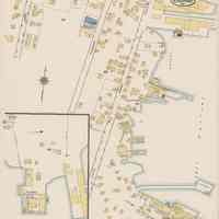
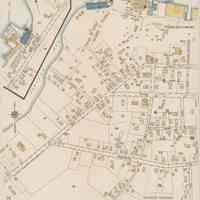
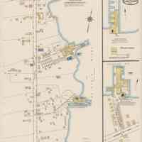
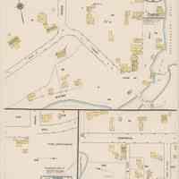
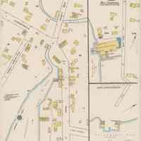
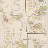
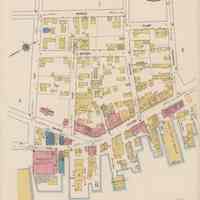
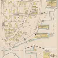
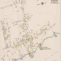
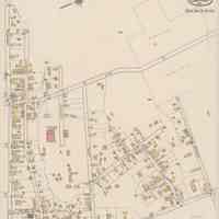
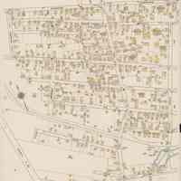
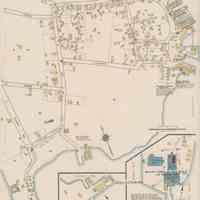
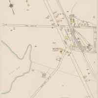
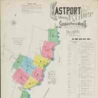
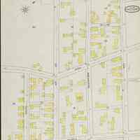
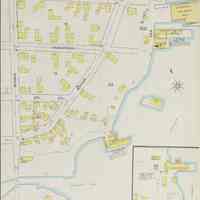
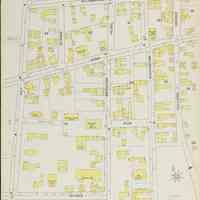
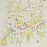
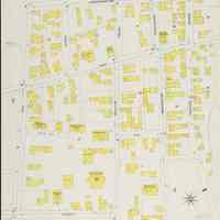
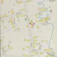
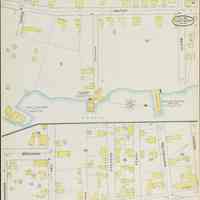
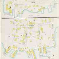
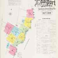
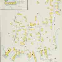
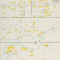
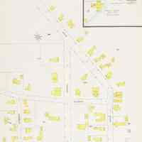
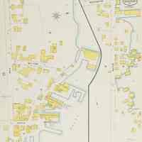
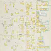
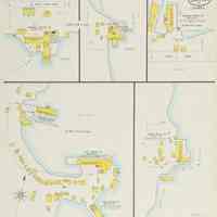
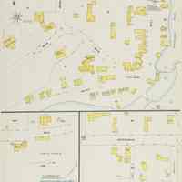
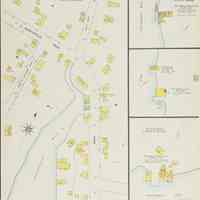
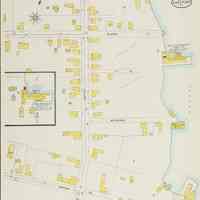
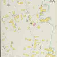
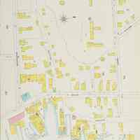
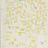
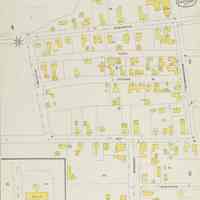
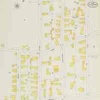
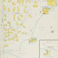
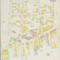
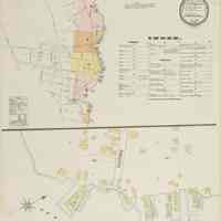
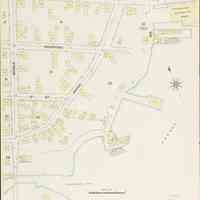
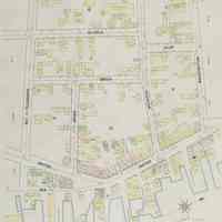
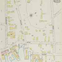
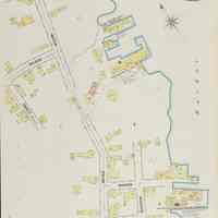
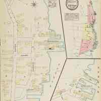
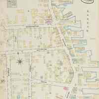
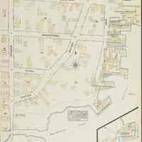
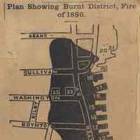
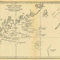
Fishing Grounds from Nova Scotia to Penobscot Bay, Maine
Classification: Maps Circa: 1887 Old Accession Number: 967 Description: From Fisheries Industries of the United States, Section III.
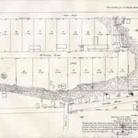
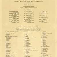
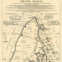
Grand Manan (Back Side) | Buchanan Charles | Includes Herring Weirs of Grand Manan
Artist: Buchanan Charles Classification: Maps Circa: 1939 Old Accession Number: 2182
Grand Manan | Buchanan Charles
Artist: Buchanan Charles Classification: Maps Circa: 1935 Old Accession Number: 915 Description: Map of Grand Manan Island, New Brunswick. Published by the Grand Manan Historical Society
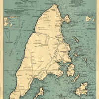
Grand Manan | Buchanan Charles | Includes Herring Weirs of Grand Manan
Artist: Buchanan Charles Circa: 1939 Old Accession Number: 244 Description: Map published by the Grand Manan Historical Society. Grand Manan, New Brunswick.
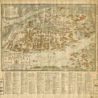
Halifax, Nova Scotia [Map]
Old Accession Number: 1346

Hillside Cemetery: Map_Adj.Gen._Washington__Eastport__Hillside_Cemetery_A__May_27__1941_209085.jpg
From the Maine State Archives

Hillside Cemetery: Map_Adj.Gen._Washington__Eastport__Hillside_Cemetery_B__May_28__1941_209085.jpg
From the Maine State Archives

Hillside Cemetery: Map_Adj.Gen._Washington__Eastport__Hillside_Cemetery_C__June_4__1941_209085.jpg
From the Maine State Archives

Hillside Cemetery: Map_Adj.Gen._Washington__Eastport__Hillside_Cemetery_D__June_11__1941_209085.jpg
From the Maine State Archives

Hillside Cemetery: Map_Adj.Gen._Washington__Eastport__Hillside_Cemetery_E__June_16__1941_209085.jpg
From the Maine State Archives
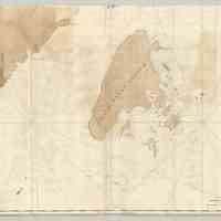
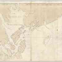
J. F. W. Des Barres | Chart of Grand Manan | 1780
Gift of James Arsenault, 2026.
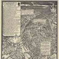
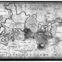
J. F. W. Des Barres | Chart of Passamaquoddy Bay | 1780
Gift of James Arsenault, 2026.
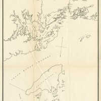
Location of Weirs in Passamaquoddy Bay and Vicinity in 1893 |
Old Accession Number: 1323
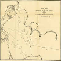
Location of Weirs in West Quoddy Bay and Lubec Narrows in 1893 | B. L. Hardin
Artist: B. L. Hardin Classification: Maps Old Accession Number: 923 Description: Plate 60
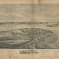
Lubec Bird's Eye View | George Norris
Artist: George Norris Medium: Lithograph Classification: Maps Circa: 1896 Old Accession Number: 1581 Description: George Norris, Brockton, Massachusetts.
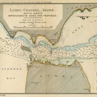
Lubec Channel, Maine | Colonel Charles Blunt
Artist: Colonel Charles Blunt Medium: Engraving Old Accession Number: 245 Description: Map.
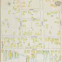
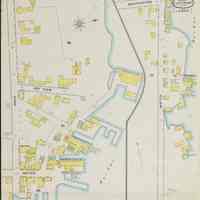
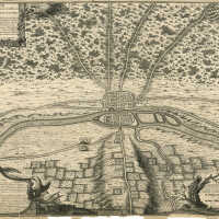
Lutece conquise par les Francois sur les Romains ou Second Plan de la Ville de Paris | Nicolas De Fer
Artist: Nicolas De Fer Medium: Map Classification: Maps Circa: 1705 Old Accession Number: 518 Description: Second Plan de la Ville de Paris. Lutece conquise paqr les Francois sur les Romains ou Second Plan De La Ville paris Tire DU Misopogone de l'Empererur Iulien, d'Amian Marcellin, de Gregoire de Tours, de Boece, de l'Abbe Suger, des Anciens Titres, du Tresor des Chartes . .. Traite de la Police Page 71. Lutece. Conquise par les Francois sur les Romains.
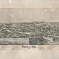
Machias, Maine Bird's Eye View Map | George Norris | Brockton, Massachusetts | 1896
From Estate of Jane Porter of Portsmouth, New Hampshire and Bucks Harbor, Maine, 2024. 26" x 19 1/4".
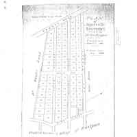
Majorville | Eastport, Maine
From Washington County Registry of Deeds, Machias, Maine
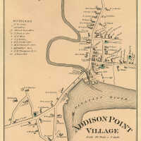
Map of Addison, 1881
Circa: 1881 Old Accession Number: 1584
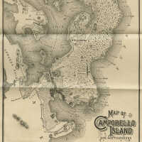
Map of Campobello
Classification: Maps Circa: 1883 Old Accession Number: 1169
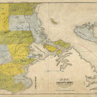
Map of Charlotte County
Medium: Lithograph Classification: Maps Old Accession Number: 1326 Description: Map of Charlotte County from Surveys by Hurd Peters, C.E. Published by H. McAlpine. St. John, N.B. Maritime Steam Lith. Co. St. John.
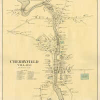
Map of Cherryfield, 1881
Old Accession Number: 1294
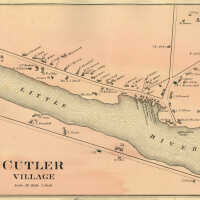
Map of Cutler, 1881
Old Accession Number: 1578
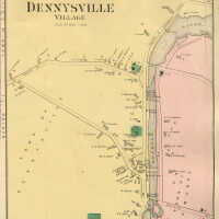
Map of Dennysville, 1881
Old Accession Number: 1580
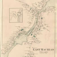
Map of East Machias, 1881
Old Accession Number: 1305
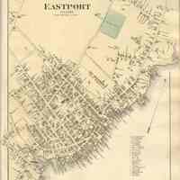
Map of Eastport, 1881
Classification: Maps Circa: 1881 Old Accession Number: 1320
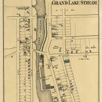
Map of Grand Lake Stream, 1881
Old Accession Number: 1303
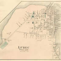
Map of Lubec, 1881
Old Accession Number: 1295
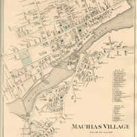
Map of Machias, 1881
Classification: Maps Circa: 1881 Old Accession Number: 1293
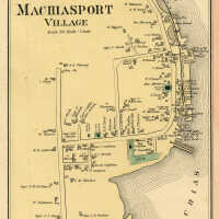
Map of Machiasport, 1881
Old Accession Number: 1579
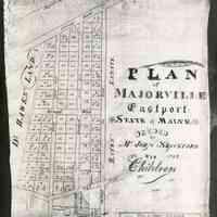
Map of Majorville | Eastport, Maine | 1833
Photograph of the original map then in the possession of Oscar L. Whalen (1896-1991) of Eastport, Maine. Photograph was taken c.1980. Majorville From Eastport Sentinel, December 10, 1890, p.3, col.2: "Majorville is a familiar locality in our town, but probably very few people know how the name originated. Darius Pearce was a prominent citizen in the early part of the century. He was quite active in the adventurous times of the Embargo, and during the war of 1812 when he and his two brothers-in-law John and Samuel Shackford, were going along the coast in a sail boat they were captured by the British man-of-war Boxer. After a short detention they were set free, and a few days later when up in the vicinity of Monhegan had the satisfaction of seeing the sea fight when the American man-of-war Enterprise beat the Boxer and carried her into Portland. He occasionally went to sea, and was master of the Tom Thumb, one of the earliest steamboats in these eastern waters, but was generally engaged in mercantile business on shore. Though never a military man he somehow acquired the soubriquet of "Major," and was commonly known in that way, though sometimes an ecclesiastical title was awarded to him. When the ambitious avenue known as Broadway was marked out and houses began to be built on that part of the Shackford property to which family his wife belonged, the neighborhood was given the name of Majorville which it has since retained in compliment to him."
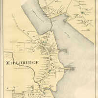
Map of Milbridge, 1881
Old Accession Number: 1319
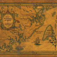
Map of Passamaquoddy, Eastern Coast of Maine
Old Accession Number: 265
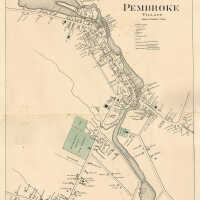
Map of Pembroke, 1881
Old Accession Number: 1298
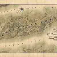
Map of Properties of the Petit Manan Land Company | Steuben, Washington County, Maine | 1889
Old Accession Number: 1296 Gift of Christopher Monkhouse, 2012.
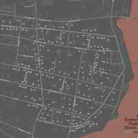
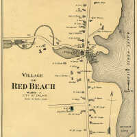
Map of Red Beach, 1881
Old Accession Number: 1585 Calais, Maine
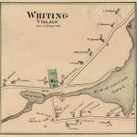
Map of Whiting, 1881
Old Accession Number: 1304
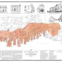
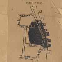
Map of the Great Fire October 14, 1886 Eastport, Maine | Kirsten Sparenborg
Artist: Kirsten Sparenborg Classification: Maps Circa: 2019 Old Accession Number: 2330
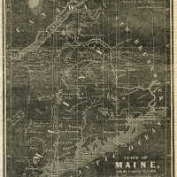
Map of the North Eastern Boundary
Medium: Wood Engraving Classification: Prints Circa: 1842 Old Accession Number: 913 Description: From The New York Herald, August 24, 1842, p.1
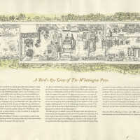
Miriam Macgregor | A Bird's Eye View of the Whittington Press | Engraving / Letterpress | 1987
Artist: Miriam Macgregor Medium: Engraving / Letterpress Classification: Prints Circa: 1987 Old Accession Number: 909 Description: Drawn by Miriam Macgregor at Easter 1987. 250 copies printed on Amalfi hand-made paper by John and Rosalind Randle for friends in America.
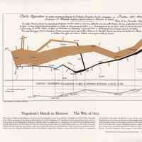
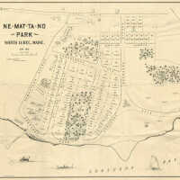
Ne-Mat-Ta-No Park Hotel and Park Map, North Lubec, Maine | 1897
A large original plan for the Ne-mat-ta-no hotel and resort development in North Lubec, Maine. that dates to June, 1897. The plan is the work of C.E.C. Beck, landscape engineer, of Boston, Massachusetts. The 500-acre facility was built by the North Lubec Improvement Company, a Young Men’s Christian Association (YMCA) company, organized in 1889 for developing a permanent New England Summer Encampment for the organization. North Lubec was chosen for the site. The map shows the Ne-mat-ta-no hotel that was built in 1890 along with the surrounding resort plan. The plan shows dozens of housing lots; streets with names of St. Croix, Kenduskeg, Cobscook, Ne-mat-ta-no, Macwahoc, Lamoine, and Mattawamkeag; tennis courts; a casino, camping ground; ice house; picnic grove; bowling alley and steamship and boat landing wharves. The hotel was a substantial four story wooden structure with a large covered porch that wrapped around all four sides of the hotel on the ground level. The hotel could accommodate 125 guests withe room rates of $2,00 to 2.50 a day or $9.00 to $12.00 a week. The hotel burned down in 1921. The Tides Institute acquired this original map from a collector in Lubec, Maine along with an original brass stencil dating to the same time period with the Ne-mat-ta-no name. The institute also has historical photographs of the hotel as well as the steamship wharf. Photo caption: Original plan for Ne-mat-ta-no retort hotel development in North Lubec, Maine that dates to 1897. Classification: Maps Circa: 1897 Old Accession Number: 231 Description: Ne-Mat-Ta-No Hotel and Park Map, North Lubec, Maine, 1897.
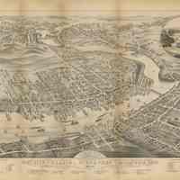
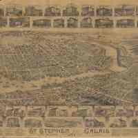
Panoramic View of the City of Calais, St. Stephen and Milltown, Washington Co. Maine, Charlotte Co. New Brunswick, 1879 | J.J. Stoner
A bird’s eye view map of Calais, Maine and St. Stephen and Milltown, New Brunswick. It dates to 1879 and was produced by the J.J. Stoner company of Madison, Wisconsin. A larger view of the map can be seen elsewhere on the institute’s website: Bird’s Eye View Map. Such maps were extremely popular in the late nineteen century throughout North America and many towns and cities had such maps created of their communities. J.J. Stoner also did another bird’s eye view map at the same time of Eastport, Maine. A copy of this map is also in the institute’s collections. Ten years later, another bird’s eye view map was created for Calais and St. Stephen and this time the map was produced by a Canadian firm, L.W. McAnn & Company, of Moncton, New Brunswick. The institute has a copy of this map as well. Other bird’s eye view maps of this region include Lubec (1896), Machias (1896), Cherryfield (1896) all by George Norris, and St. Andrews (1890) by Bert Poole. A copy of the 1896 Lubec bird’s eye view is in the institute’s collections. The institute’s 1879 bird’s eye view map of Calais, St. Stephen and Milltown was donated by Paul Hachey, former assistant curator of the Beaverbrook Art Gallery in Fredericton, New Brunswick, who at the time was living in Montreal, Quebec. He was concerned about mailing the map across the U.S. / Canada border so the Tides Institute had him mail it to the librarian at the St. Croix Public Library in St. Stephen. From there, the institute picked up the map and brought it safely across the border by car at the Ferry Point Bridge in downtown Calais and St. Stephen and successfully through U.S. Customs on the Maine side of the bridge. Artist: J.J. Stoner Medium: Lithograph Classification: Maps Circa: 1879 Old Accession Number: 55 Description: Panoramic View of the City of Calais, St. Stephen and Milltown, Washington Co. Maine, Charlotte Co. New Brunswick, 1879. Mills, Factories, Shops & Wharves. Pub. By J.J. Stoner, Madison, Wisconsin
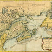
Partie Orientale de la Nouvelle France ou du Canada | Nicholas Bellin / Homann Heirs
Artist: Nicholas Bellin / Homann Heirs Classification: Maps Circa: 1755 Old Accession Number: 929
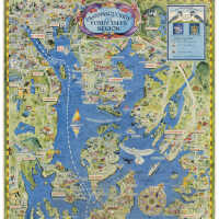
Passamaquoddy & Fundy Isles Region | [No Artist Defined]
Old Accession Number: 1567
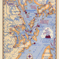
Passamaquoddy & Fundy Isles Region | [No Artist Defined]
Old Accession Number: 1334
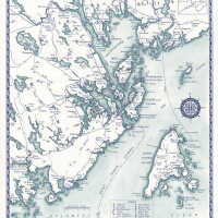
Passamaquoddy Bay Region | [No Artist Defined]
Old Accession Number: 1332
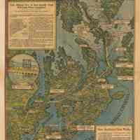
Passamaquoddy Bay and the Fundy Isles | Jane Crosen
Artist: Jane Crosen Classification: Maps Circa: 1996 Old Accession Number: 1335 Description: Map produced by Jane Crosen of Penobscot, Maine in 1996.
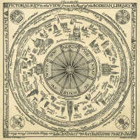
Pictorial Key to the View from the Roof of the Bodleian Library | Falconer Madan and Edmund Hort New
Artist: Falconer Madan and Edmund Hort New Classification: Maps Circa: 1917 Old Accession Number: 917
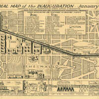
Pictorial Map of the Inauguration, January 20, 1937
Old Accession Number: 1321
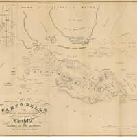
Plan of Campobello and Other Islands Contiguous in the County of Charlotte, and Province of New Brunswick.
Classification: Maps Circa: 1839 Old Accession Number: 1658
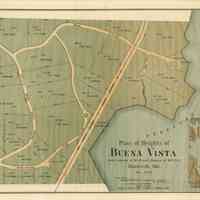
Plan of Heights of Buena Vista | Hancock, Maine | December, 1888
Gift of Christopher Monkhouse, 2012
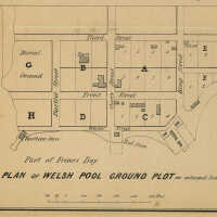
Plan of Welsh Pool Ground Plot [Campobello Island, New Brunswick]
Classification: Maps Circa: 1839 Old Accession Number: 1659 Description: Detail insert within Plan of Campobello and Other Islands Contiguous in the County of Charlotte, and Province of New Brunswick.
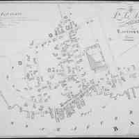
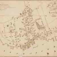
Plan of the Village of Eastport, Maine | William Anson | Survey of 1835 | Black and White Photograph of Original Map
Original map is in the Maine State Library, Augusta, Maine.
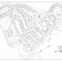
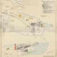
Quoddy Village. Plot Plan
Classification: Maps Circa: 1935 Old Accession Number: 1548
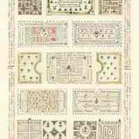
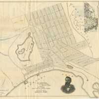
Schoodoc Pond
Old Accession Number: 1601 Credit / Gift Of: Christopher Monkhouse, 2013 From Machias Valley News, August 17, 2022: Looking Back at History by Ronie Strout Found in a pamphlet dated 1888, Schoodoc [sic] Pond, Inland Summer Resort and Game Park of Maine For Sale 1888. Ten miles from the Seacoast, in the western part of Washington County, is situated a “Table land” that is elevated about five hundred feet above the level of the Sea. The approach to this table land from the villages of Cherryfield, Milbridge, Harrington and Addison, is by numerous roads running North by gradual and easy ascent until you arrive near the top, when the ascent is sharp and steep until you reach the summit. The view from this elevated position is grand: - To the South the Church Spires indicate the location of the Villages, while beyond the Ocean is spread out before you. To the left lies Loon Point, Nash’s Island, The Old Head and other islands at the entrance of Machias bay. In front of you is Petit Manan, Bois Bubert and Pond Island, while to the right is Mt. Desert with the Tip-top House crowning its summit. To the Westward is Tunk mountains. North of you lies Old Humpback, Spruce, and Pleasant River Mountains, while to the East is Pleasant River with its meadows and the great heath, with its hundreds of little ponds the home of the Black Duck. The road from Harrington strikes this table land at the Eastern end of the base line-a road built by the government in the year 1857, under the supervision of Jeff Davis to make a base line for the coast survey. It runs about northwest five miles as straight as you can draw a line. He built a monument at each end, but they decayed and tumbled over with his Southern confederacy. A stranger traveling on this road would pronounce this tract of land a barren waste, producing nothing but a few scraggy pines and scrubby birch, with now and then a tuft of withered grass struggling for existence. But upon investigation he finds he has made a mistake. This is the great Blueberry Vineyard of Maine. A few years ago, this berry crop was comparatively worthless. A few were shipped to Boston in crates but only a small fraction of the crop was gathered. But somebody discovered that they made good sauce put up in tin cans. About ten years ago the first were put up I this way and found a ready market. Since then, the business has steadily increased, until now it is one of the best paying industries of Eastern Maine. The berries grow spontaneously without cultivation. When the vines are five or six years old the production diminishes, when it becomes necessary to set them on fire in the early spring and burn them up. In a few days they spring up again from the old root, and on the second year yield a good crop. The picking season commences about July 20th and continues about two months. The pickers come from the villages and farms in the vicinity. They make good wages and get their cash every day. The average pick for the last five years was about one thousand bushels per day
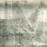
Sea Coast Packing Company - List of Properties
Old Accession Number: 1347
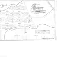
Shackford Head | Eastport, Maine
From Washington County Registry of Deeds, Machias, Maine
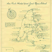
Some Vessels Wrecked Around Grand Manan Island | Eric Allaby
Artist: Eric Allaby Medium: (Map) Classification: Maps Old Accession Number: 247 Grand Manan, New Brunswick.
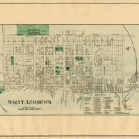
St. Andrews
Classification: Maps Circa: 1878 Old Accession Number: 928 Description: Map of St. Andrews, New Brunswick. From: Roe Brothers' Atlas of the Maritime Provinces, Plate 91.
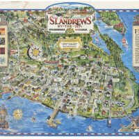
St. Andrews Map
Old Accession Number: 1570
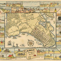
St. Andrews [New Brunswick], Shiretown of Charlotte | Frances Wren
Artist: Frances Wren Classification: Maps Circa: 1932 Old Accession Number: 172
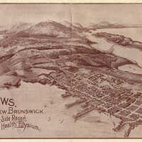
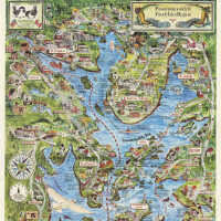
St. Andrews, New Brunswick - The Ideal Sea-Side Resort and Health Elysium | [No Artist Defined]
Old Accession Number: 1804
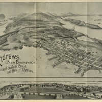
St. Andrews, New Brunswick. The ideal Sea Side Resort and Health Elysium. | Bert Poole
Artist: Bert Poole Medium: Letterpress print. Old Accession Number: 316 Description: Bird's Eye View Map.
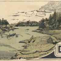
The Carrying Place | Detail from Map of Properties of Petit Manan Land Company, Steuben, Washington County, Maine
Description: From: Map of Properties of Petit Manan Land Company, Steuben, Washington County, Maine Gift of Christopher Monkhouse, 2012.
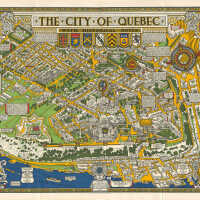
The City of Quebec with Historical Notes | Published by Alexander & Cable Litho Co, Toronto, 1932
Old Accession Number: 1344 Travel map poster for The City of Quebec with historical notes drawn by S.H. Maw Toronto (Samuel Herbert Maw; 1881-1952) featuring a colourful pictorial map illustrated with coats of arms and historical buildings showing the streets and parks with details of notable people and places as well as events (for example: This shield was taken from the Saint Louis Gate by the English in the year 1759 & restored to the city by the citizens of the town of Hastings in 1926), ships on the River St Lawrence and the Canadian Pacific Railway lines on the side, the crests of Wolfe Frontenac Cartier and Champlain in the corners and title above, a book with information on Wolfe's Monument column by the military hospital on the left and compass point on the right, all framed by an ornate border. Published in Toronto by Alexander Litho Co., Ltd, 1932. Size: 68 mm x89 mm.
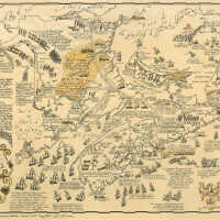
The Maritime Provinces of Canada | Peter Furse | 1963
Artist: Peter Furse Classification: Maps Circa: 1963 Old Accession Number: 256 Title: The Maritime Provinces of Canada 1963 First hand coloured edition. Limited to 50. Copy number 19. From (2024): https://www.davidrumsey.com/luna/servlet/detail/RUMSEY~8~1~346063~90113522:The-Maritime-Provinces-of-Canada?qvq=w4s:/who%2FPeter%2BFurse;lc:RUMSEY~8~1&mi=2&trs=13 David Rumsey Historical Map Collection Record Author: Furse, Peter R. Date: 1963 Short Title: The Maritime Provinces of Canada Publisher: Peter Furse Publisher Location: Hampton, New Brunswick Type: Separate Map Obj Height cm: 38 Obj Width cm: 60 Note: Copy No. 39 in 1st colored limited edition of 50. Lithograph on watermarked Superfine Linen Record 100% Canadian Rag produced by Rolland Paper Co., St. Jerome, Quebec. Hand-coloring applied by artist Kathy Hooper, a daughter of the artist. Lingley Printing Co. Ltd., Saint John, New Brunswick State/Province: New Brunswick State/Province: Nova Scotia State/Province: Prince Edward Island Subject: Pictorial map Subject: Historical Full Title: The Maritime Provinces of Canada List No: 15278.000 Publication Author: Furse, Peter R. Pub Date: 1963 Pub Title: The Maritime Provinces of Canada Pub Note: "Peter Reynolds Furse was born October 29th, 1901, in Farnham, Hampshire, Surrey, England. He was a son of Dame Katherine (Symonds) Furse, GBE, and the English artist Charles Wellington Furse. He entered the Royal Navy during WWI at age 17. He was a cartographer and graduated Emmanuel College, University of Cambridge in 1922. He was married in England on June 25th, 1931, to Barbara Elizabeth Ross of Saskatchewan, Canada. The couple moved to Africa, living in Nairobi, Kenya, and then Cape Town, South Africa where he served in the Royal Navy during WWII. He rose to the rank of Lt. Commander, Royal Navy. The couple had 2 daughters, Kathy and Elizabeth, both born in Kenya. Following the War, he bought Houw Hoek farm in Grabouw, Western Cape. While still in Africa, Furse developed an interest in making pictorial maps. Eventually, Furse and his wife moved to North America where Furse continued to draw. For a time, the couple lived in Laguna Beach, California, USA. Then, in 1962, they moved to the village of Hampton, New Brunswick, Canada, where Furse and his wife, their daughter Kathy, and her husband sculptor John Hooper, were members of the 'Hampton Group’ artists’ community. Peter’s only sibling was a brother, Rear Admiral John Paul Wellington Furse, C.B., O.B.E.. Peter Furse died in New Brunswick in 1970." (Gallery 18 Ltd., 2022) Pub List No: 15278.000 Pub Type: Separate Map Pub Height cm: 38 Pub Width cm:
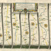
The Road from Carlisle com. Cumbr. to Barwick upon Tweed com. Northumbr. | John Ogilby
Artist: John Ogilby Classification: Maps Circa: 1675 Old Accession Number: 914
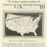
The longest station to station call within the U.S. now costs only $10 | Advertisement | 1928
Circa: 1928 Description: The longest station [Eastport, Maine] to station [Bay, California] call within the U.S. now costs only $10 Advertisement for Bell Long Distance Telephone Sercice. From The American Magazine, February, 1928, p. 91. Old Accession Number: 1056
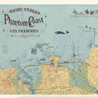
Third Street Phantom Coast, San Francisco | Alison Pebworth
Included in Rebecca Solnit's Infinite City A San Francisco Atlas.
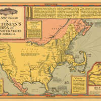
This Map Presents A Bostonian’s Idea of the United States of America. | Daniel K. Wallingford
Boston Artist: Daniel K. Wallingford Medium: Map Old Accession Number: 333 Description: Copyright, Daniel K. Wallingford, 64 W. Ohio St., Chicago 10, Illinois
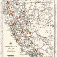
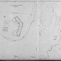
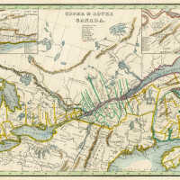
Upper & Lower Canada
Classification: Maps Old Accession Number: 925
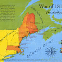
War of 1812: The Northeast | David Wolfe
Artist: David Wolfe Medium: Woodcut and Letterpress Dimensions: 19 1/2”w x 13 3/4”h Classification: Prints Circa: 2014 Old Accession Number: 1436 Description: Poster designed and printed by David Wolfe as part of the Hand Line Press series of posters produced for the Tides Institute & Museum of Art. Large thanks go to historian, Joshua M. Smith, for his assistance and review of this map's development. For more information about the War of 1812 in the Northeast, see his book, Battle for the Bay (2011). This poster is a limited edition of 300 copies produced in 2014.
Water Street | Eastport, Maine
From Washington County Registry of Deeds, Machias, Maine